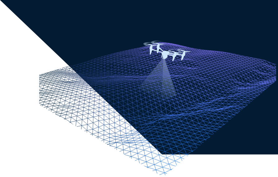
Aerial Photography, Video & Laser Scanning
Our drones provide real-time reconnaissance and surveillance that could increase the effectiveness of project life cycle significantly. Incorporating photogrammetry and geomapping, the images and videos produced from drones can help the design team to visualize and understand structures. Make the most out of a geographic information system (GIS) with drones.
MORE ON DRONES
Drone Service
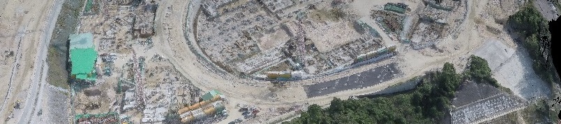
From land planning to optimization of usage through monitoring of the construction process