

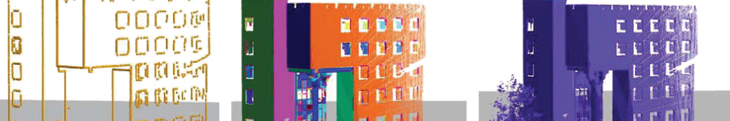
FLEXIBLE, ACCURATE BUILDING INFORMATION
In collaboration with Trimble RealWorks, collected data is processed and deliverables such as color matching and 3D models can be produced. Information can be used to view, explore, measure and annotate structures both indoors and outdoors.
CLOUD PROCESSING
Trimble RealWorks is a comprehensive cloud processing and production software. The software supports even the most standard point cloud formats for manipulation.
2D AND 3D DELIVERABLES
Trimble RealWorks allows viewing and creation of cross sections, contours, line work, and meshes of structures, with a wide range of 2D and 3D tools.
REGISTRATION
Automated registrations and data management services are available through the software. Scan configuration can be bespoke, whether target-less or otherwise, registration will be accurate.
INCREDIBLE FLEXIBILITY
Manipulate information in commercially used building software. The information then can be integrated in 3/4/5D. Trimble RealWorks has application-specific tools to improve schedules.
MORE ON LASER SCANNING
Manual property surveying and measuring can only be so accurate. Virtual coordination by laser scanning can be used to capture existing structures and integrate with models. How a 3D laser scanner works is by shooting laser beams (at the speed of light) and measuring how long those beams take to come back, then
figuring out the distance between the scanner and obstruction. 3D laser scanners are extremely fast and accurate, producing data that can then be used to make viable 3D models. This piece of technology removes the inaccuracies and errors from manual work. Laser scanning has been used extensively for building
inspection, comparing as-built conditions to design, reverse engineering and surveying. They will give a lot of insight into hidden cracks and leaks in structures, enabling for immediate handling.
Manual property surveying and measuring can only be so accurate. Virtual coordination by laser scanning can be used to capture existing structures and integrate with models. How a 3D laser scanner works is by shooting laser beams (at the speed of light) and measuring how long those beams take to come back, then figuring out the distance between the scanner and obstruction. 3D laser scanners are extremely fast and accurate, producing data that can then be used to make viable 3D models. This piece of technology removes the inaccuracies and errors from manual work. Laser scanning has been used extensively for building inspection, comparing as-built conditions to design, reverse engineering and surveying. They will give a lot of insight into hidden cracks and leaks in structures, enabling for immediate handling.
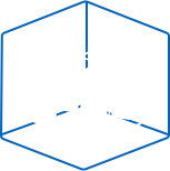
Laser Scanning
From land planning to optimization of usage through monitoring of the construction process
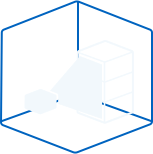
INDOOR SCAN
Examine floor flatness and ceiling level.
OUTDOOR SCAN
Take exact measurements of structures.