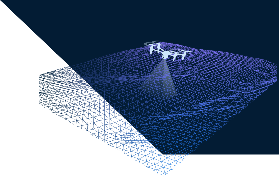
Aerial Photography, Video & Laser Scanning
Our drones provide real-time reconnaissance and surveillance that could increase the effectiveness of project life cycle significantly. Incorporating photogrammetry and geomapping, the images and videos produced from drones can help the design team to visualize and understand structures. Make the most out of a geographic information system (GIS) with drones.
DAILY REPORT
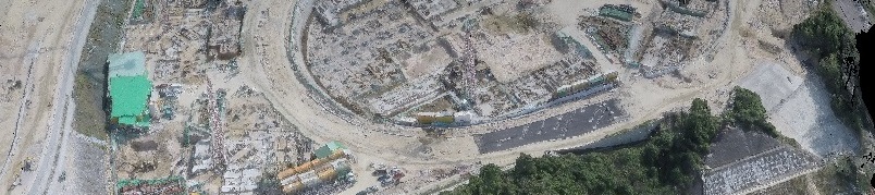
Daily drone scanning updates on construction progress and other building information. This will keep the team on track with the construction schedule.
BROAD SPAN
From such height, drones can have a view of the tremendous landscape of open fields, giving insights into the land patterns and possible irrigation problems.
BUILDING + INSPECTION
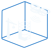
Progress and any signs of damage in parts of the buildings can be reported immediately, increasing productivity and safety of on-site workers.
3D MODELING
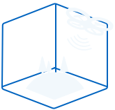
With precise measurements and data collection, we can render high-quality 3D models from our drones.
SAFE & POWERFUL ACCESS
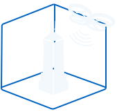
Unlike humans, drones can both hover and fly. They can have the pathway to places we can't reach from the ground.
PLANNING + SIMULATION
Build sustainably and effectively by performing site logistic planning and energy simulation. Videos and images can show the energy consumption and construction time of the structure.
MORE ON DRONES
Drones are becoming increasingly prominent not only in the construction industry, but also in the military and the technology world in general. Also known as unmanned aerial vehicles (UAV), drones are enhancing construction work like no other technology available. They can help
detecting and preventing potential building problems, avoiding any schedule hindrance. A typical drone today can hover in one position for a significant amount of time without losing much stability. Being slick and light, drones (and minidrones) have the ability to execute
monitoring and inspection that was done before with large flying bodies such as helicopters and smaller engine planes. Its stability and access to incredible heights opened people's minds to what is possible with aerial photography and videography.
Drones are becoming increasingly prominent not only in the construction industry, but also in the military and the technology world in general. Also known as unmanned aerial vehicles (UAV), drones are enhancing construction work like no other technology available. They can help detecting and preventing potential building problems, avoiding any schedule hindrance. A typical drone today can hover in one position for a significant amount of time without losing much stability. Being slick and light, drones (and minidrones) have the ability to executemonitoring and inspection that was done before with large flying bodies such as helicopters and smaller engine planes. Its stability and access to incredible heights opened people's minds to what is possible with aerial photography and videography.
Drone Service
From land planning to optimization of usage through monitoring of the construction process
Agriculture
From fungal infestation, soil variation to crop health information, only grow and produce the best products.
Construction
Create the level of safety and productivity everyone dreamed of. Monitor progress and control asset management in situ.
Existing Building
Get to even the most remote parts of the building to search for damaged parts including hidden cracks and leaks.